If we didn't sort out our harbour, the ships would go elsewhere. The surfacing design was inpsired by the views from a plane over the patchwork of our areas farms reaching into the MacKenzie and lakes - Photo Roselyn Fauth

Wool, grain, and frozen meat were some of the areas key exports that relied on a safe and efficient harbour. - Photo Roselyn Fauth

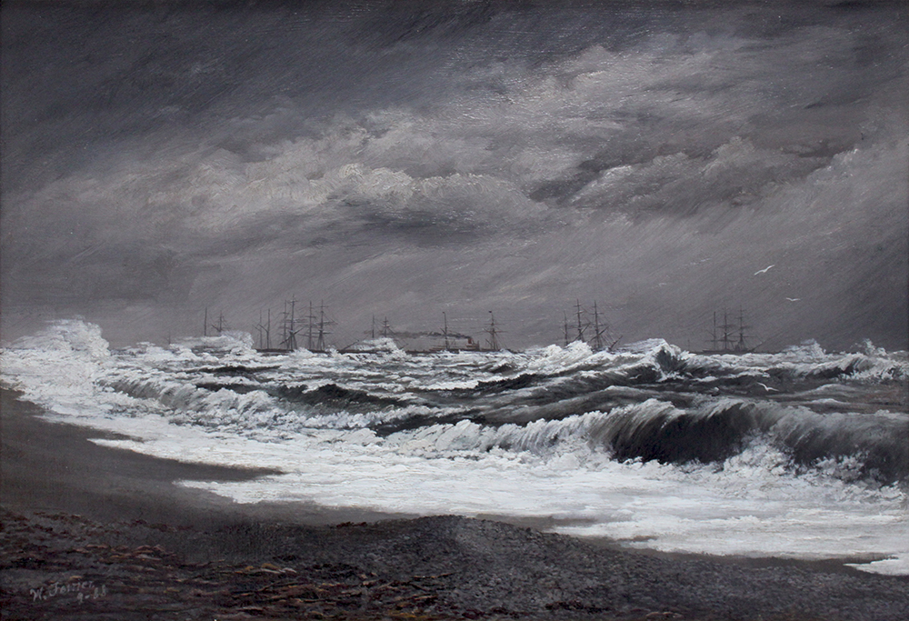
William Ferrier (1855-1922), Breakwater Timaru Running a Southerly Gale, 1888, Oil on canvas - Aigantighe Art Gallery Collection 2002.10
Since the 1840s Timaru became a hub for coastal trade and the landing service enabled the town started to grow. However 28 shipwrecks in 16 years was a major problem. The safety and efficiency of handling cargo and passengers had to be improved.
In the 1860s J.M. Goodall, engineer, for the Harbour Board worked on plans for the Harbour. 1878 Work Began to Construct Southern breakwater near the foot of Strathallan Street was talked about as the boldest work that has been undertaken in New Zealand at that time.
The locals funded their own harbour. It was only one of two independently owned ports in the country.
1881 The construction of the railway cause shingle to accumulate in front of the Landing services, and they closed down.
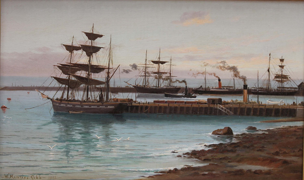
1883 Timaru had one wharf 880 feet long and was a success.

William Gibb (1859-1931) Timaru Harbour, 1888, Oil on canvas - Aigantighe Art Gallery Collection 2002.10
1900 Grain merchant and miller, William Evans persuaded the rate payers to loan £100,000 to what is now known as the Eastern extension. This was to combat the shingle that was filling the shipping channel. It was completed in 1915 with 432,207 tons of blue stone that was quarried from Centennial Park.
The moody wharf was built in 1908, and a wharf for fishermen was built 1911.
The Port provided huge opportunity to Timaru and South Canterbury. It also impacted the way sediment moved up the coast. From 1880s sand built out from these Caroline Bay cliffs and created a new sandy Caroline Bay.
Imagine after all the hard work of breaking in farms and establishing products to trade, and then worrying the ships might go else where and impact the cost to ship.


South Canterbury Jubilee dinner at Timaru, 1909. Shows guests at a dinner held in the Drill Hall, with men and women seated at long tables. Flags hang along a wall. A banner compares import, export, mutton, and wool statistics of 1859 and 1909. Photographer unidentified. Toned silver gelatin print. - natlib.govt.nz/338563

It also contributed to the rapid change othe coastline as you can see in these two comparison maps.


